To see the day's Map and Elevation Graph look here: Cycling map and data link (hover on 'Map' button in the upper left corner and click on Terrain).
We start riding at 8:30am on a beautiful sunny crisp fall day. In fact, today is the first full day of fall as yesterday was the autumnal equinox. Few days are as perfect for biking as today is. The temperature starts out in the mid 50s and then climbs into the mid 70s as the day progresses. The dew point is only in the 50s and it feels crisp and comfortable.
We head north for a few miles to reach the Valley Parkway. This road is silky smooth with a gentle 2 mile downhill, nice curves, and beautiful scenery with striking views. One of the very best biking roads we've ever been on. It goes down to the Cuyahoga River Valley where we take a few pictures.
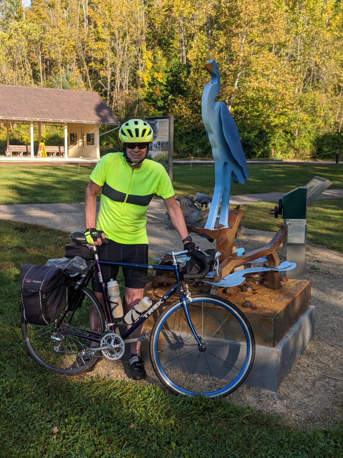
Sculpture
We also cross the Cuyahoga River.
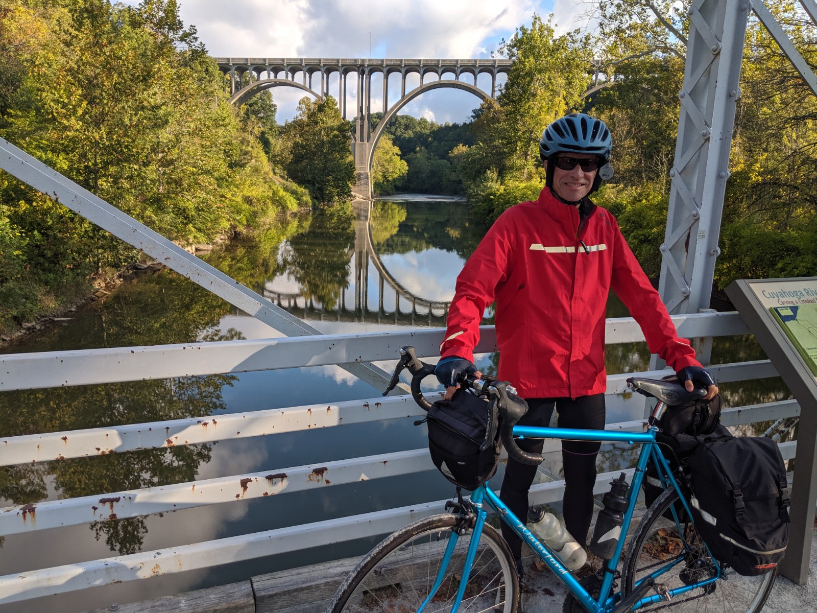
Cuyahoga River
The reflection of the bridge shows how still the water is this morning. Someone offered to take a picture with both Jim and I in it, and since there aren't many pictures with both of us in it .....
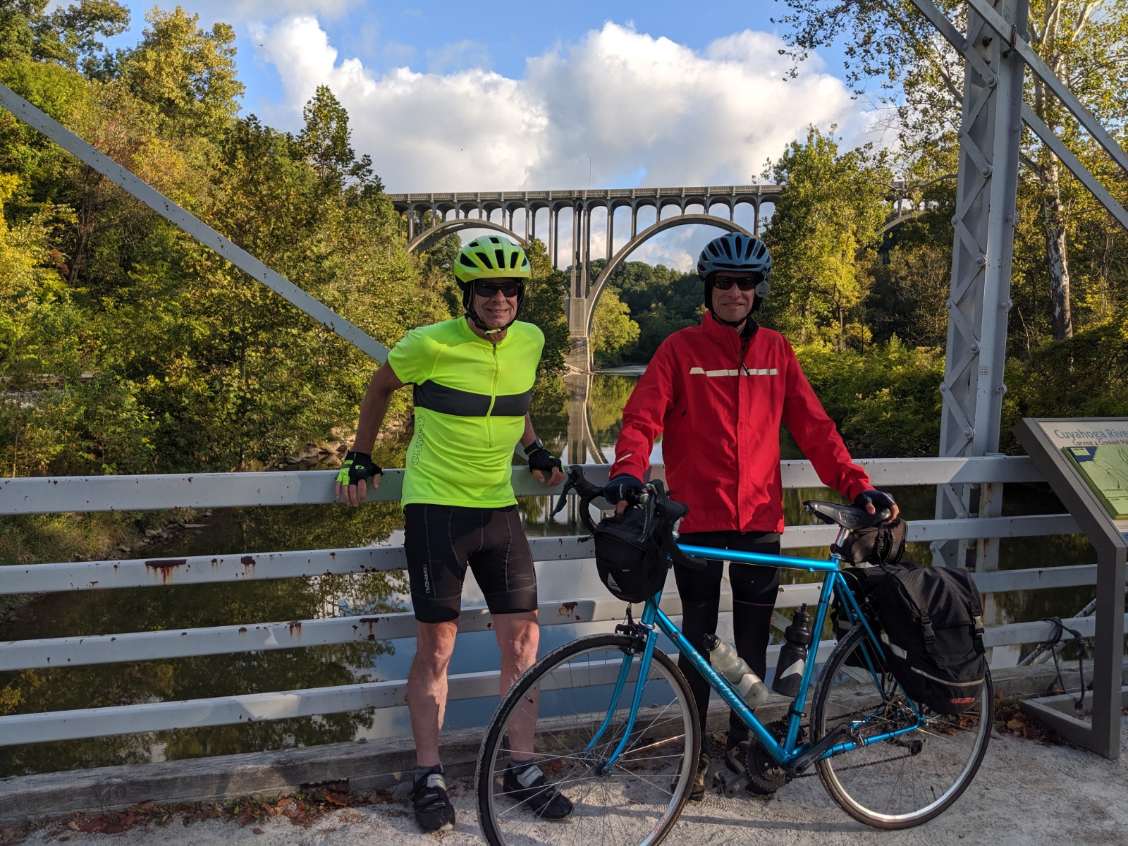
Tom and Jim
Next we have to climb out of this valley and encounter a steep gravel road. It turns out to be too steep and loose to climb with our skinny tire bikes, so we walk up the hill. The total distance up the hill is only about 2 city blocks. At the top we get on Aurora Road (same road as that bridge in the pictures) and ride to the Hike and Bike Trail that enters the Cuyahoga Valley National Park. This trail runs along the edge of the park and is fun to ride as it is in great shape. The park is also quite beautiful.
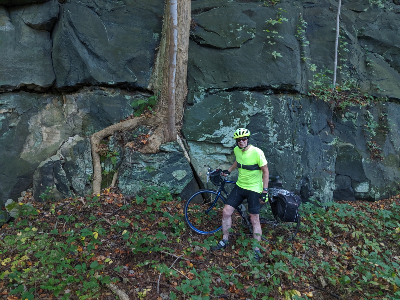
A tree and a sapling growing out of a cliff
It's a bit fascinating to us that this tree could grow out of rock this way. There are a few other riders on this trail and it's not too crowded. The trail is over 20 miles long, leaves the National Park, but enters municipal parks. This trail eventually takes us all the way to Kent, Ohio. Near the end of the trail we stop for a break before getting back onto roads again.
It turns out that we're only on the roads for a short distance and then we pick up the Portage Trail. This trail is also in good shape and takes us all the way to Ravenna. We ride through Ravenna, look at Main Street, and see this mural.
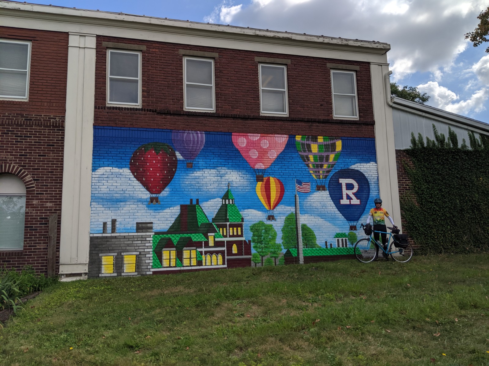
Ravenna Mural
Ravenna also has flag pole that is 150 feet tall. We couldn't get a picture that captured it, so here is one from the web.
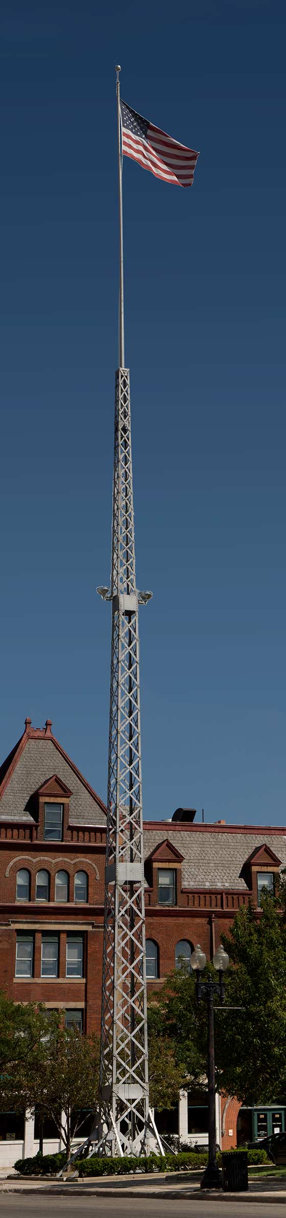
Ravenna Flag Pole
We also have lunch in Ravenna. After lunch we mostly ride some back roads. We stop for a break in a small park in the middle of a roundabout in the town of Deerfield. After the break we get some help from a tailwind. Eventually we end up on a road called Western Reserve. This road is straight for 18 miles. It starts out in poor shape with very low traffic. After about 6 miles the road quality improves greatly. The amount of traffic picks up too. Tailwinds give us a nice boost on this stretch. As we get closer to Youngstown, OH it gets busier. At the end of the road we are very close to our North Lima destination and arrive at 5:30pm. What a perfect biking day.